Street Story

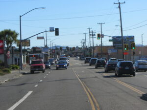
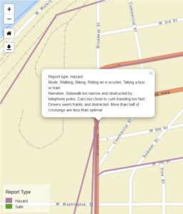
  Lines of cars fill all 4 lanes of Eureka's Broadway at the intersection with 6th Street    A map shows roads in Eureka near the intersection of Broadway & 6th Street, with purple lines representing reports of hazards. A text box contains a report about narrow sidewalks and drivers speeding and being distracted.

Street Story is an online platform that allows you to report where you feel safe or unsafe on the street, or where you’ve had a crash or a near-miss. It’s free and easy to use, and it only takes a couple of minutes to make a report.

CRTP has partnered with UC Berkeley’s Safe Transportation Research and Education Center (SafeTREC), which developed Street Story, to bring the program to Humboldt County.

CRTP uses Street Story reports to help advocate for safety improvements for people walking and biking on the streets. Many other local agencies refer to Street Story reports too, from Caltrans to the City of Arcata to the County of Humboldt.

Help us make sure we have the information we need to increase traffic safety. Make a report!


For more information, check out our video on how to use Street Story:


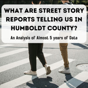
Then, check out our Spring 2024 analysis of Street Story reports in Humboldt County:

The feet of two pedestrians in a crosswalk, with text superimposed reading "What Are Street Story Reports Telling Us In Humboldt County? An Analysis of Almost 5 Years of Data"

Finally, click here for a report on our 2024 Street Story engagement work funded by SafeTREC and the California Office of Traffic Safety. Thanks to our funders for their generous support!

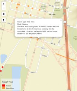
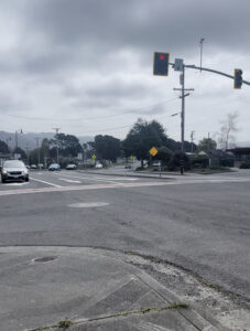
A map shows streets in southern Arcata with red and orange dots representing reports of near-misses and crashes. A text box shows a report about a near-miss in a crosswalk.    A wide expanse of asphalt at the intersection of State Route 255 (Samoa Blvd) and G Street in Arcata, on a cloudy day

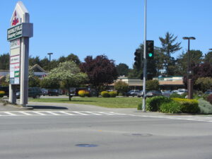
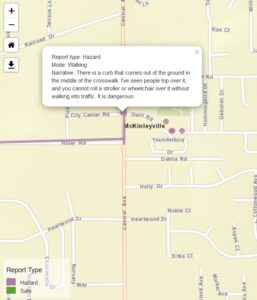
A wide expanse of Central Avenue asphalt is in the foreground, with a parking lot and sign for the McKinleyville Shopping Center behind   A map shows streets in central McKinleyville, with purple dots and lines showing reports of hazardous locations. A text box shows a report about a dangerous curb in a crosswalk that blocks access and is a tripping hazard.

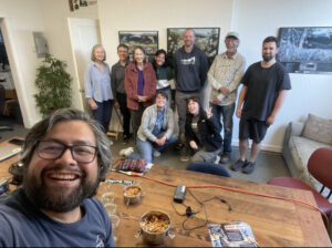
  10 people gathered around a table in an office pose for a photo